File:ATCovinaMap.png
Jump to navigation
Jump to search


Size of this preview: 800 × 482 pixels. Other resolution: 989 × 596 pixels.
Original file (989 × 596 pixels, file size: 1.01 MB, MIME type: image/png)
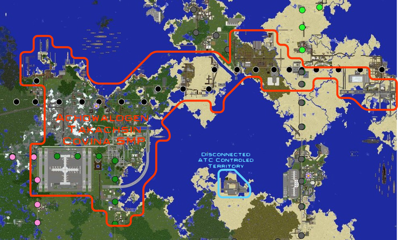
The current map of the extent of land under the control of the Achowalogen Takachsin-Covina SMP.
File history
Click on a date/time to view the file as it appeared at that time.
| Date/Time | Thumbnail | Dimensions | User | Comment | |
|---|---|---|---|---|---|
| current | 09:35, 10 December 2016 | | 989 × 596 (1.01 MB) | Kastle (talk | contribs) | |
| 23:57, 28 August 2016 | 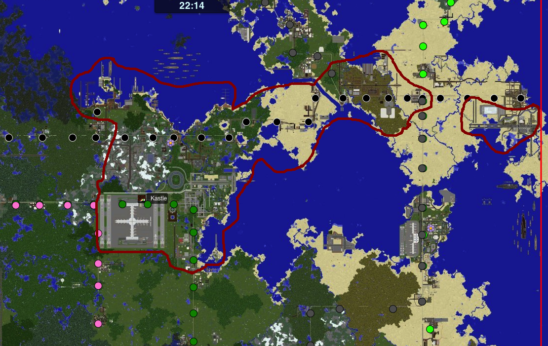 | 1,110 × 701 (1.39 MB) | Skelezomperman (talk | contribs) | The current map of the extent of land under the control of the Achowalogen Takachsin-Covina SMP. |
You cannot overwrite this file.
File usage
The following page uses this file: