File:BahiaTopo.png
Jump to navigation
Jump to search

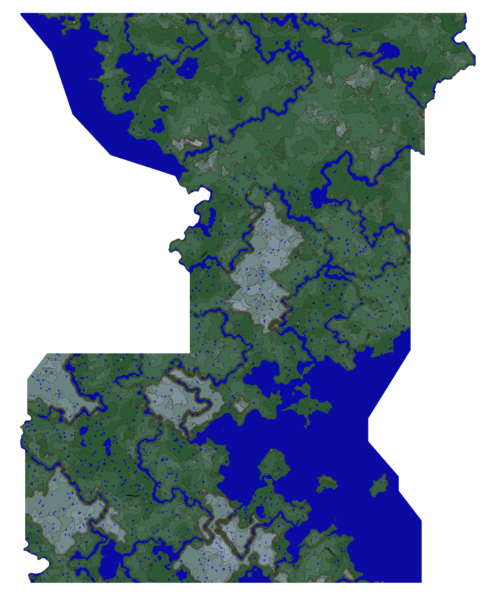
Size of this preview: 486 × 600 pixels. Other resolution: 1,316 × 1,624 pixels.
Original file (1,316 × 1,624 pixels, file size: 1.66 MB, MIME type: image/png)
Summary
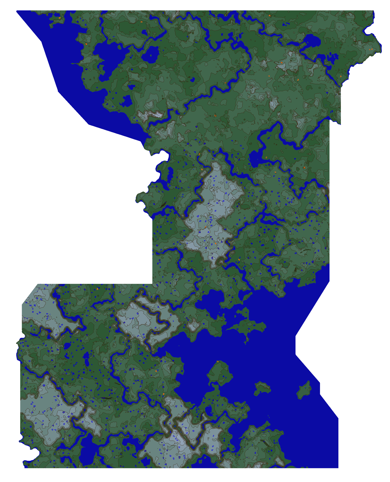
Topographic Map of the Republic of Bahia
File history
Click on a date/time to view the file as it appeared at that time.
| Date/Time | Thumbnail | Dimensions | User | Comment | |
|---|---|---|---|---|---|
| current | 21:34, 25 July 2019 | | 1,316 × 1,624 (1.66 MB) | Echohue (talk | contribs) | Topographic Map of the Republic of Bahia |
You cannot overwrite this file.
File usage
There are no pages that use this file.