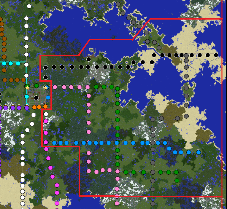
File:EAST boundaries.png
Jump to navigation
Jump to search

Size of this preview: 651 × 600 pixels. Other resolution: 765 × 705 pixels.
Original file (765 × 705 pixels, file size: 1.02 MB, MIME type: image/png)
The EAST council Boundaries
File history
Click on a date/time to view the file as it appeared at that time.
| Date/Time | Thumbnail | Dimensions | User | Comment | |
|---|---|---|---|---|---|
| current | 19:41, 17 October 2014 | | 765 × 705 (1.02 MB) | Just robinho (talk | contribs) | Map Oct 2014 |
| 00:32, 16 October 2014 | 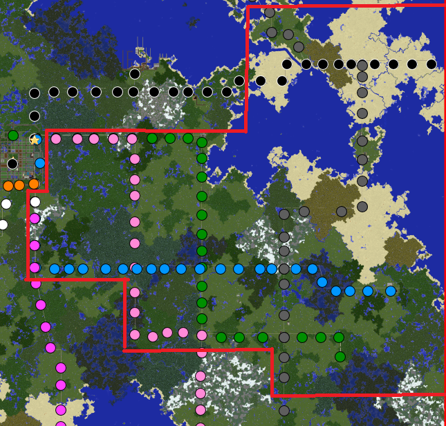 | 645 × 616 (671 KB) | Just robinho (talk | contribs) | The EAST council Boundaries |
You cannot overwrite this file.
File usage
The following page uses this file: