File:Map of Senikau.png
Jump to navigation
Jump to search

Size of this preview: 800 × 451 pixels. Other resolution: 1,028 × 579 pixels.
Original file (1,028 × 579 pixels, file size: 438 KB, MIME type: image/png)
File history
Click on a date/time to view the file as it appeared at that time.
| Date/Time | Thumbnail | Dimensions | User | Comment | |
|---|---|---|---|---|---|
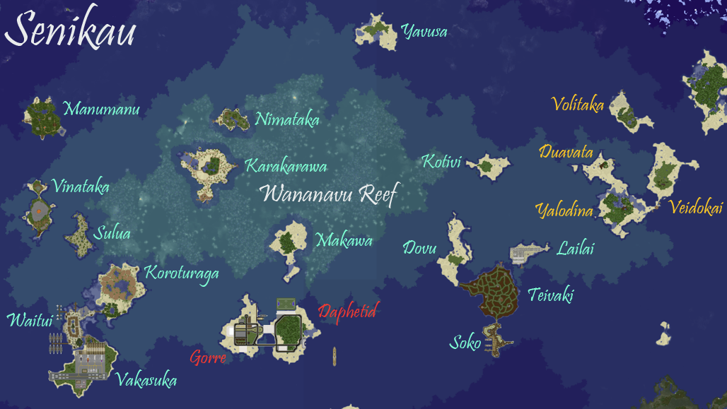
| current | 21:59, 11 September 2023 | | 1,028 × 579 (438 KB) | McYoshi26 (talk | contribs) | |
| 05:47, 25 October 2022 | 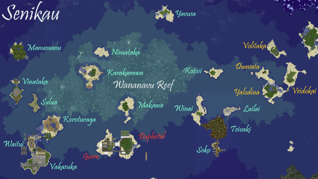 | 1,028 × 579 (439 KB) | McYoshi26 (talk | contribs) | Accurate as of September 2022 | |
| 06:04, 22 February 2022 | 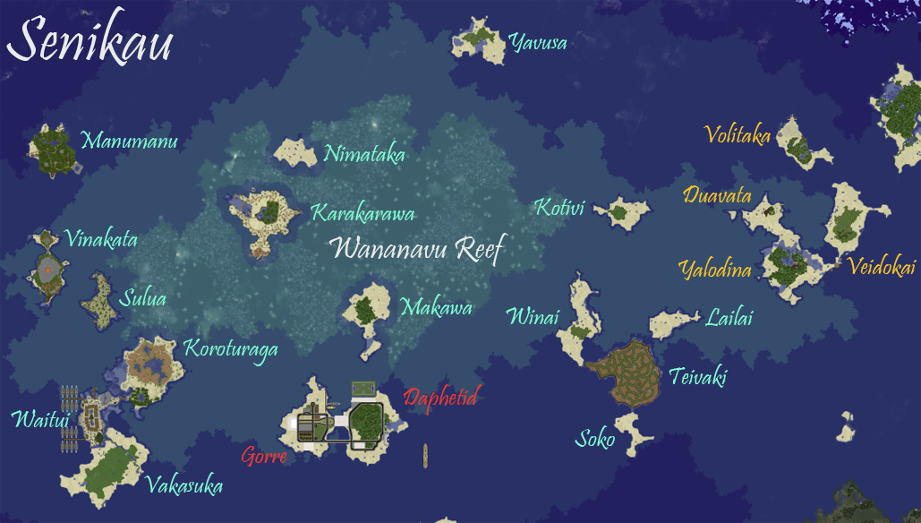 | 1,029 × 584 (439 KB) | McYoshi26 (talk | contribs) | Accurate as of February 21, 2022 | |
| 09:03, 26 September 2020 | 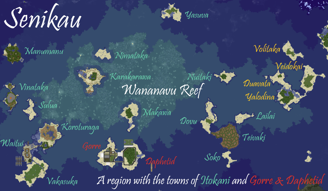 | 1,057 × 615 (448 KB) | McYoshi26 (talk | contribs) | Accurate as of September 26, 2020 | |
| 00:25, 29 June 2020 | 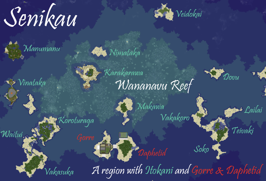 | 904 × 615 (386 KB) | McYoshi26 (talk | contribs) | ||
| 02:45, 1 March 2020 |  | 1,029 × 726 (424 KB) | McYoshi26 (talk | contribs) | ||
| 21:33, 29 February 2020 | 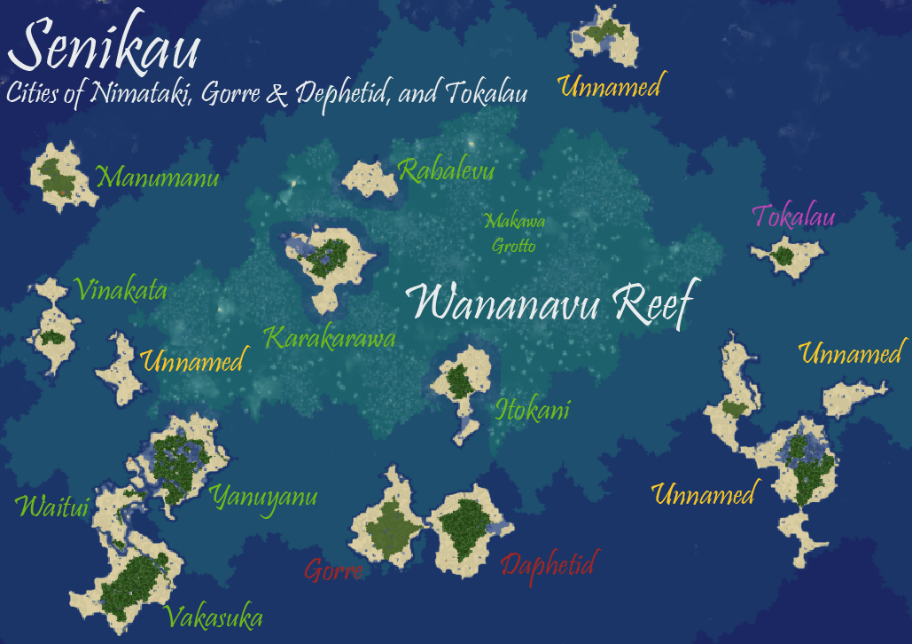 | 1,029 × 726 (424 KB) | McYoshi26 (talk | contribs) |
You cannot overwrite this file.