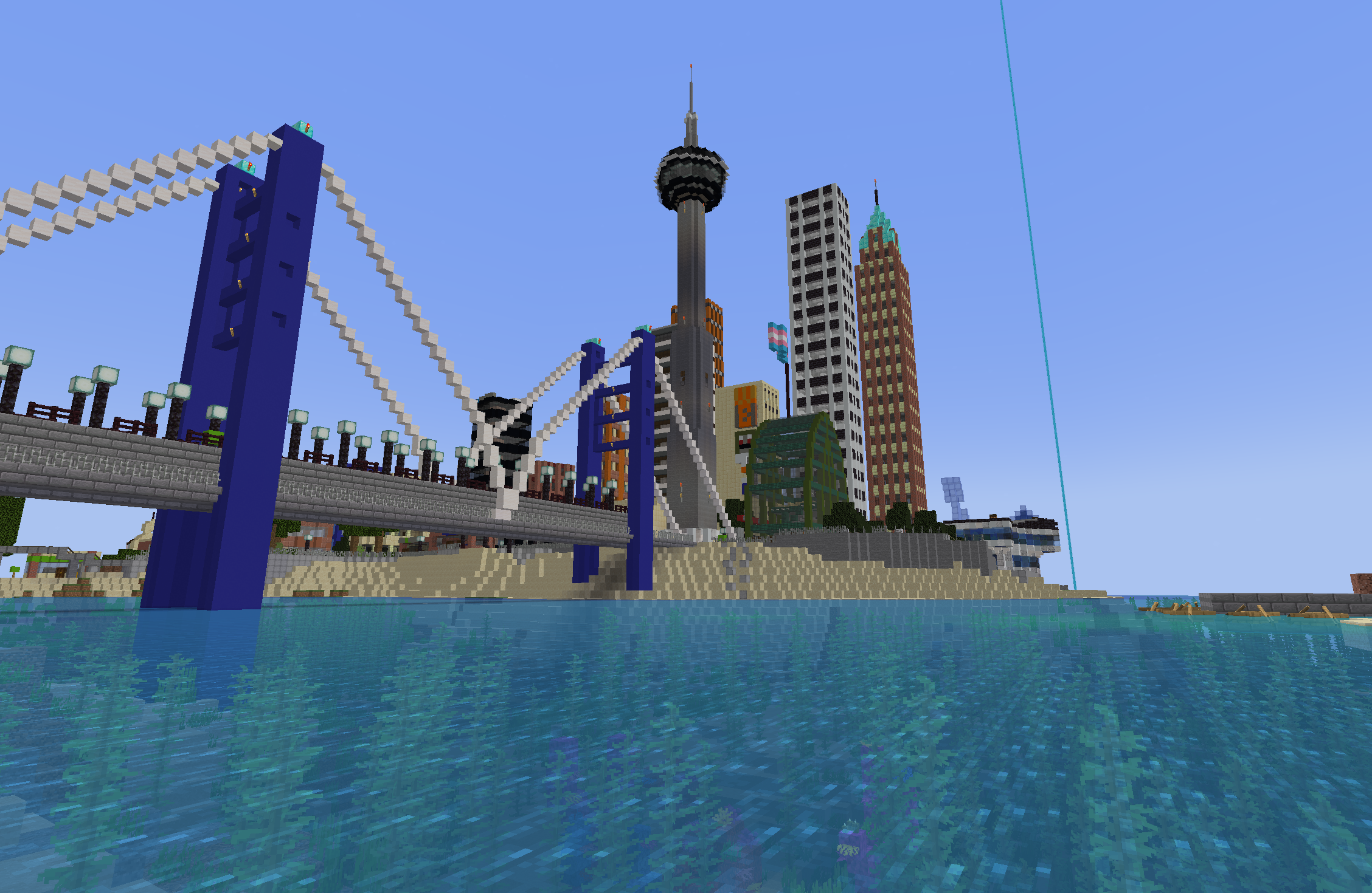
San Francisco is a Governor ranked port city on the San Francisco Peninsula along the Eilean Sea. It is the largest city of the state of Tierrente, Kanata, and is well known for its /stacking beauty and suburban life. Greenery is very present in the city, with pine trees towering over rooftops. It is the largest city in the country and is the only ranked city Spegit owns over the rank of Senator.
Understand
History
San Francisco was founded in August 2022 by Spegit, who named it after the real-life city of the same name. It progressed through the ranks during 2023 and achieved the rank of Governor in January 2023. The city is almost a kilometre in length, and has several suburbs via the San Francisco Metropolitan Area.
Get in
By plane
- San Francisco Midway International Airport (YSM IATA) is the main airport in the city, although it is not completely linked up to the city yet. The airport is quite spacious, with one large terminal serving all kinds of gates. The B and H gates are located in the middle wing of the terminal. H gates, for helicopters, are located on the roof of the B gates, so you must go up a stairway to reach the second-floor entrance to the helicopters. The B Gates serve mostly small sized planes, with the northern side serving medium planes. The G gates are for remote gates. They also serve small planes. The A gates solely serve medium aircraft, aside from an extra small gate to the side of the wing. The airport will have a light rail service to Downtown San Francisco soon, as well as road connections via McMahon Boulevard. Continental Airlines and Air Kanata have their hubs at the airport, and are reliable for travelling here from Kanatian cities like Cornwall or New Mayton.
- Thomas Meunier San Francisco City Airport (YST IATA) is the secondary airport in the city, built as the Senator airfield. It is smaller than the city's main airport, however still very cozy and there is lots of room in the terminal to wait for your flight and eat at the C&W located in the airport. It has one main terminal on the western end of the airport, and remote gates on the other side. The remote gates are easily accessible via the underground tunnel connecting to the main terminal. The airport is connected to the city via several methods, including an SFMetro shuttle, a shuttle bus connecting to other transit hubs in the city at the bus terminal across the street, the Luz Rail Commuter, the West Zeta Rail Tierrentian Express, and the San Francisco Freeway. Continental Airlines has a hub here.
By MRT
The MRT Western Line has the northern terminus at WN60, near San Francisco City Airport. You can ride here from Central City by riding the MRT Taiga Line from Central City NW Terminal. Then, at T31 transfer for the Western Line and ride it until you reach WN60. Alternatively, you can press the terminus warp for the Western Line at Central Park. The button is marked in red, as the line is coloured.
By rail
West Zeta Rail's Pretzel Line serves the city extensively, with stops at Downtown, Lynwood, Fairbank, and East San Francisco. The line continues down to Vorepolis, with future extensions to Aston and Princeton in the planning stages.
By boat
A small boat service from Nova Roma is active at the San Francisco Ferry Terminal, at the southern tip of the peninsula. West Zeta Ferry's Eilean lines serve the city at Rena Island, just northwest of Downtown San Francisco. It terminates at Las Playas.
By seaplane
Several seaplanes service the city at the San Francisco Ferry Terminal, including Porter Airlines and Bayliner.
Get around
By transit
- LRT
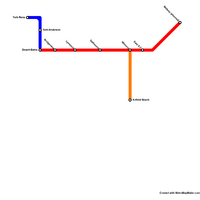
The SFMetro has three LRT lines in the city. The A Line is the most important of the city, connecting almost every neighborhood to downtown San Francisco. The line will be extended to Midway Airport soon. The C Line was formerly a segment of the A Line that straddles downtown, with the line starting at York-Rena (underneath the Aquarium) and ending at Desert-Bahia station, intersecting with the A Line. The D Line is a small connector from Wimone to Airfield Beach that gives LRT service to the City Airport.
- Bus
There is no bus service in the city, however a shuttle bus between transit hubs is operating. It travels to the City Airport via the bus terminal across the street.
By car
Several roads are in the city, of course. One major road, however, is McMahon Boulevard. It connects to the grid network of Downtown and goes to the suburban neighborhoods on the edge of the city.
By foot
All roads have sidewalks in the city, and an abundance of pathways in residential areas.

